Discover agriculture
Discover agriculture
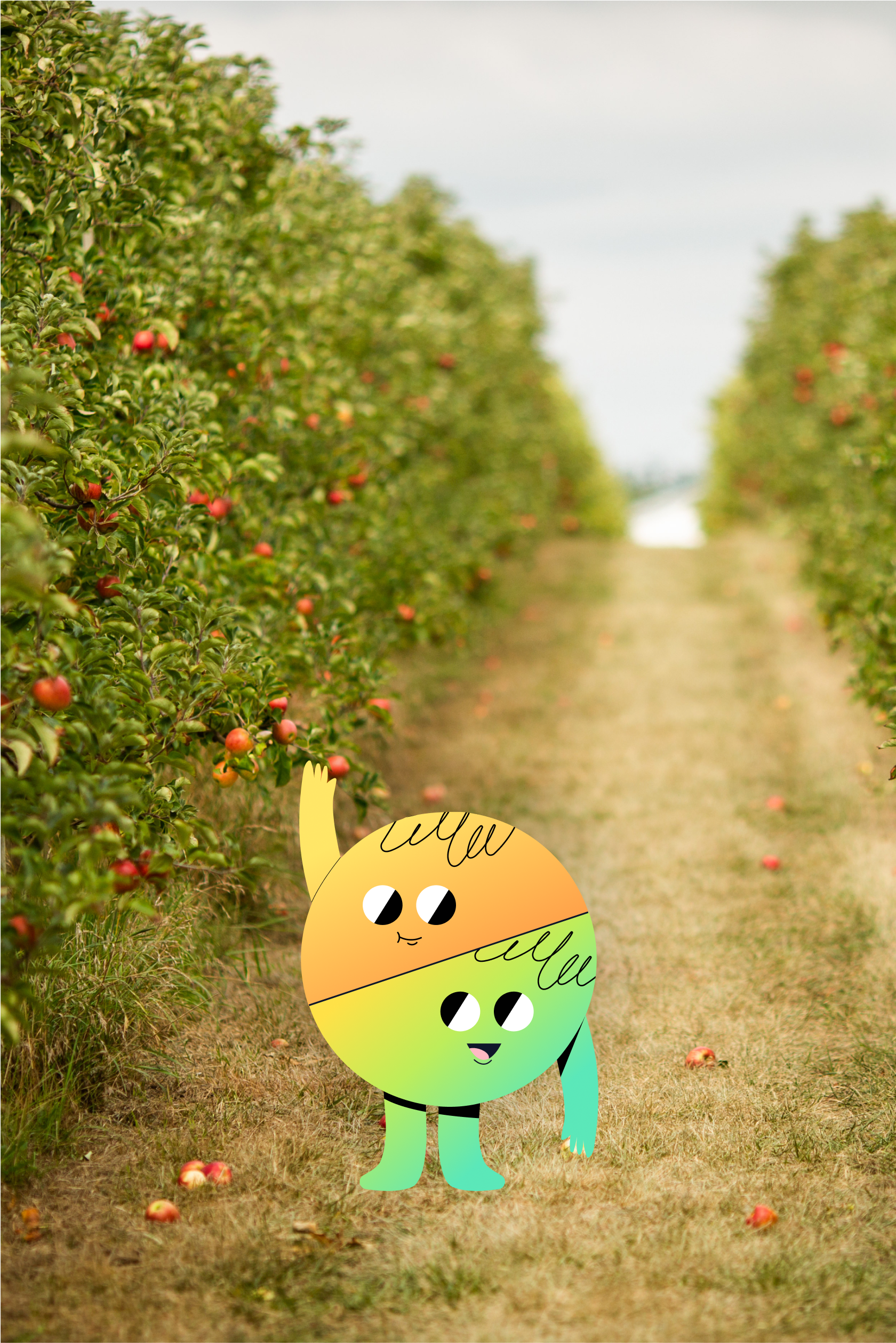
Perhaps you come across fields, meadows and farm animals when you walk around your municipality, or maybe you don't?
If you're curious to find out more about the agricultural activities and figures associated with the farms in your municipality, you're in the right place.
What will you learn in this topic?
Do you know the number of agricultural holdings in your municipality, the number of bovine animals, pigs and hens, and the size of these farms?
What are the crop productions of these farms? Do you have any idea of the profile of these farms and how Statbel compiles its agricultural figures? Have you ever heard of UAA?
Can't you find any figures for your municipality? Don’t panic, we will explain !
Some key figures related to the agricultural holdings located in your municipality
You will find here below an overview of the number of animals, the utilised agricultural area and the main crops of the farms located in your municipality during the reference year.
Be careful when interpreting the figures
What is the UAA?
The utilised agricultural area, or UAA, is the total area taken up by arable land, areas always covered by grass, permanent crops and greenhouse crops used by the agricultural holding.
Here you can see the composition of the UAA of the farms in your municipality.
Composition of the utilised agricultural area (UAA)
What is the average surface area of an agricultural holding in your municipality?
To calculate the average surface area of a farm in your municipality, you need to divide the total UAA of all farms between the different farms. This means dividing the total UAA by the number of farms in your municipality.
What is the typical profile of an agricultural holding in your municipality?
If you pool the crops and animals held by all the farms in your municipality and then divide this sum between all the farms in your municipality, you obtain the typical profile of the farms in your municipality.
Compare the typical profile of a farm in your municipality with that of another geographical area.
Have fun comparing the farms in your municipality with those of another geographical area. You will see that the crops and types of farming can be very different.
Choose another geographical area to compare:
How are the agricultural figures compiled?
Why are there no figures for some geographical areas?
There may be no agricultural figures for some municipalities for two reasons:
there are no agricultural holding in this municipality
the figures of this municipality are confidential
Confidential figures are figures that cannot be released because they would allow the data of one or more respondents to be known or identified.
In the municipality of Houtsiplou, there is only one agricultural holding: Robert’s farm.
The statistician will not be able to publish the results for the municipality of Houtsiplou without directly disclosing information from Robert's farm.
In the municipality of Wittekerke, there are 2 holdings: Bertrand’s farm and Bernadette’s farm.
The statistician will not be able to publish the information for the municipality of Wittekerke because, by deduction, Bernadette could know the figures for Bertrand's farm and vice versa.
Do you find this website instructive?
Want to test your knowledge about the topic Agriculture?
Or read the next topic 'Population'
Statbel
North Gate
Boulevard du Roi Albert II, 16
1000 Bruxelles
FPS Economy, SMEs, Self-Employed and Energy / ©2024 Statbel